The back story
Meadows, monuments and a promenade: walking Belgrade, the back story
From an 1831 ban on carts in Topčider to the Victor and the Sava Promenade: Belgrade on foot.
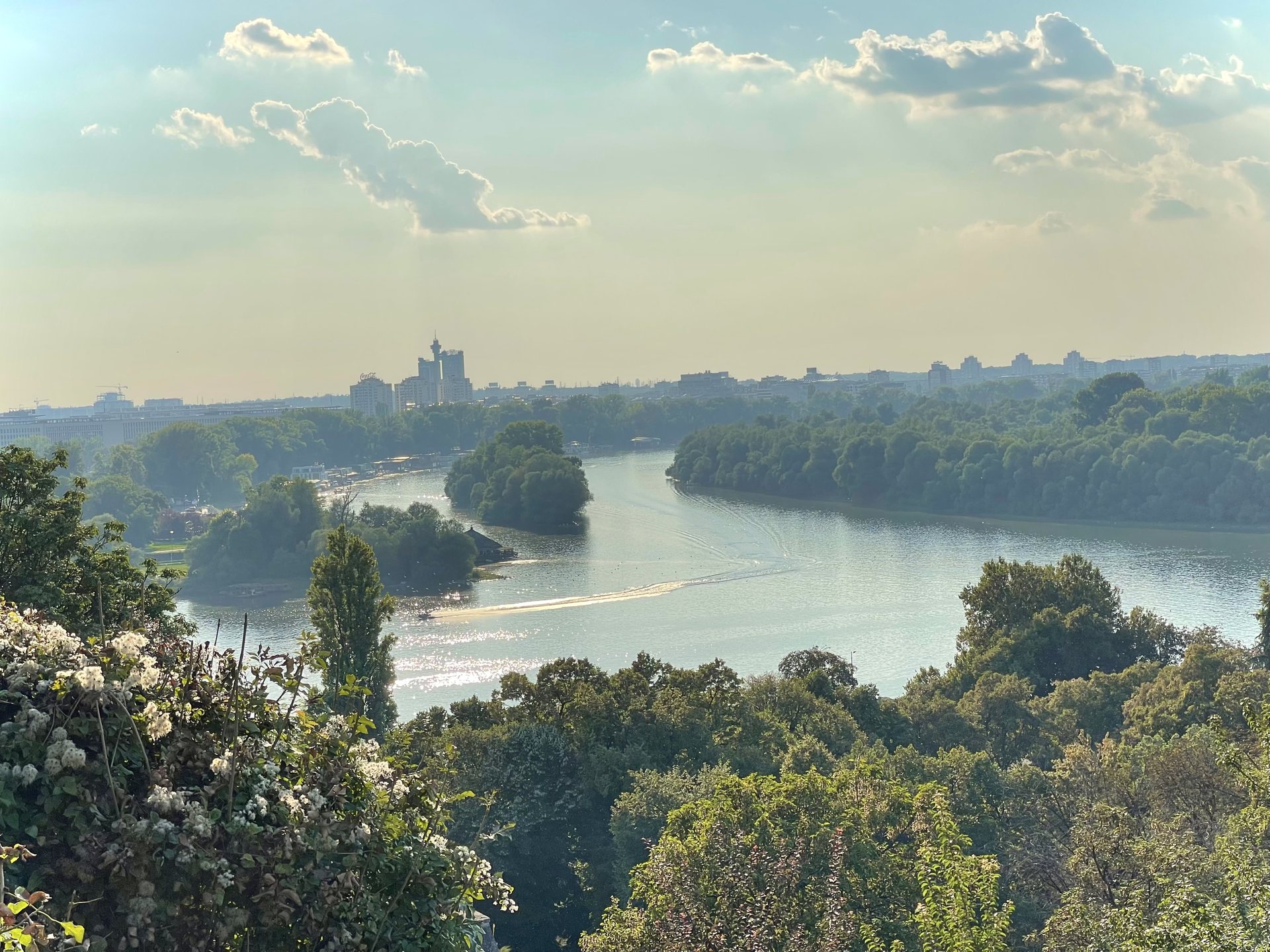
Photo Credit
Image courtesy of © ULTIMATE International MediaIn 1831 a letter banned carts from Topčider to save its meadows, and Belgrade has been a city for walkers ever since. Knez Mihailova leads past protected façades to Meštrović’s Victor, Skadarlija tumbles down to the Danube, Zemun climbs to its millennium tower and the Sava Promenade adds 4.2 kilometres of riverbank. Here is the history underfoot on the city’s six best walks.
No carts in Topčider
Belgrade’s walking history begins with a ban on traffic. The city’s parks department dates its first park, Topčider, to the early 19th century, and the earliest evidence is a letter of 24 February 1831: “Do not allow any carts to pass through Topčider, to preserve the meadows.” Nearly two centuries later, the pedestrian is still winning that argument here.
The plane trees planted around Prince Miloš’s residence between 1831 and 1833 still stand, and the residence, the Topčider church and the obelisk in the park are protected monuments. From the lawns, the Topčider Park and Košutnjak Forest walk climbs into the woods of Košutnjak, the shady answer to a Belgrade August.
The street and the fortress
The classic walk, Knez Mihailova to Kalemegdan, runs from Republic Square down the city’s pedestrian main street. Read the façades as you go: the Albanija palace, the palace of the Serbian Academy of Sciences and Arts and the Ruski car kafana are all on the city’s register of protected cultural monuments, so the stroll doubles as an architecture lesson with ice cream.
At the end the street opens into Kalemegdan Park and the Belgrade Fortress. The goal is the Victor, the work of the sculptor Ivan Meštrović, erected in 1928 and first set up on Terazije Square before it found its post above the confluence. He has the best view in the city, and every evening a crowd joins him to watch the Sava disappear into the Danube.
Bohemia, downhill
The Skadarlija to the Danube Quay walk is mostly downhill, which is its own kind of luxury. Skadarlija turned bohemian at the turn of the 20th century, when actors, writers and painters moved in, and the street has been protected as a cultural-historical unit since 1967. From the cobbles the route drops through Dorćol’s cafés and galleries to the path along the Danube.
Zemun’s millennium
Across the river, Old Zemun and Gardoš Tower tells a different story. The Millennium Tower on Gardoš hill was built in 1896, one of four identical monuments Hungary raised to mark its thousand years of statehood. Locals also call it the tower of Sibinjanin Janko, after John Hunyadi, who died of plague in one of Gardoš’s fortified towers after breaking the siege of Belgrade in 1456.
Nearly two centuries later, the pedestrian is still winning that argument here.
It is a lot of history for a hilltop, and the walk earns it gently: along the Zemun Quay past moored boats and fish restaurants, up through narrow streets, then out on to the hill where the red roofs fall away towards the Danube. Few viewpoints in the city ask so little of the legs for so much of the eye.
The newest path
The youngest route follows the Sava. The Sava Promenade and Belgrade Waterfront walk runs along the right bank, where the promenade now stretches 4.2 kilometres beneath Kula Belgrade, the 168-metre tower whose Belgrade 360 Deck sits on the 41st floor. Further upstream, the Ada Ciganlija lake loop circles the lake past beaches, sports grounds and cafés, flat enough for a stroll or a run.

Photo Credit
Image courtesy of © Skelanard (Aleksandr Petukhov) · CC BY-SA 4.0 via Wikimedia CommonsWhy does a hilly city walk so much? Because Belgrade has always been built for promenading: a park where carts were turned away, a pedestrian main street, a fortress with a view, and now a riverbank designed for strolling. The routes simply join up two centuries of the same idea.
Our advice: do Knez Mihailova to Kalemegdan at sunset, Topčider and Košutnjak on a hot morning, and Zemun on a Sunday, ending with fish soup on the quay. Wear proper shoes for Skadarlija’s cobbles, and keep the Sava Promenade for an evening, when the city comes out to walk.

Photo Credit
Image courtesy of © Petar Milošević · CC BY-SA 4.0 via Wikimedia CommonsWhy it's on our list
- No carts in Topčider
- The street and the fortress
- Zemun’s millennium
- The newest path
Location
The map comes from Google Maps, which sets its own cookies once it loads.
More in depth
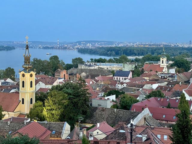 A Habsburg town on the DanubeA walk through old ZemunA little Central European town of Baroque churches and cobbled lanes on the Danube.
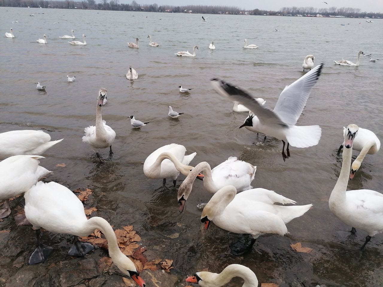 Our ten favouritesTen of the best in ZemunOur ten favourite places in Zemun, from the green market to Gardoš Tower.
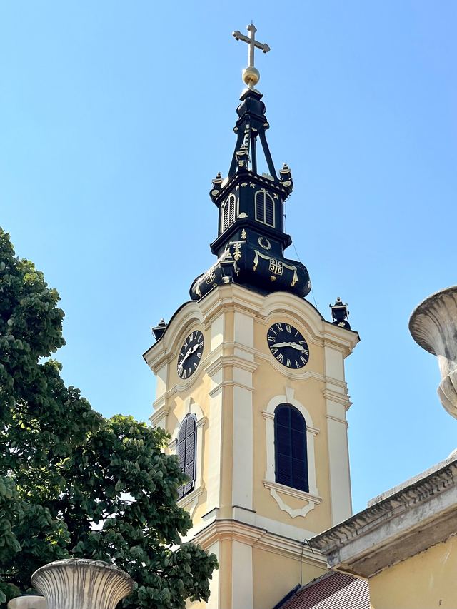 The back storyZemun’s frontier story: the quarantine, the hospital and the parkHow Habsburg Zemun guarded its gate: the quarantine of 1730 and Danube trade.